The year 2025 was a defining year for Scientia Pakistan, as the magazine strengthened its role and continued serving as a trusted bridge between science and society. From laboratories and courtrooms to classrooms and climate frontlines, our stories focused on how science shapes everyday life in Pakistan and beyond. This year, we leaned harder into clear, engaging storytelling for professionals and young readers alike— without diluting scientific rigor. The result was a growing, more engaged community that didn’t just read science news but discussed, questioned, and shared it widely.
Our Top Ten Stories of 2025 reflected the issues that mattered most to our audience. These included in-depth reporting on forensic science and justice, women breaking barriers in STEM, climate change, and extreme weather events in Pakistan and worldwide. We focused on debunking misinformation and spreading awareness about science communication, public health challenges, emerging technologies, and Pakistan’s growing footprint in global scientific collaborations.
Several of these stories went beyond headlines, unpacking complex research and policies while centering human experiences—scientists, students, doctors, and communities on the frontlines of change.
Together, these ten stories captured the spirit of a year marked by urgency, curiosity, and accountability. They showed why science journalism is not a luxury, but a necessity—especially in a region where scientific literacy can directly influence policy, justice, and survival. As we close 2025, Scientia Pakistan remains committed to asking better questions, amplifying credible voices, and making science accessible, relevant, and impossible to ignore.
1. The Secrets of Guitar: How Physics Creates the Perfect Chord
Have you ever tried blowing into a whistle? If yes, then you know a sound is made as air leaves the small opening on top, but why? The sound is produced when the air vibrates as it leaves through the small opening. In the same manner, the sound hole of a guitar is also a component in the sound being produced. The air inside the sound hole vibrates as the strings are plucked. This amplifies the sound being made as the air moves forward and backward while also giving the guitar its bass or its low notes.
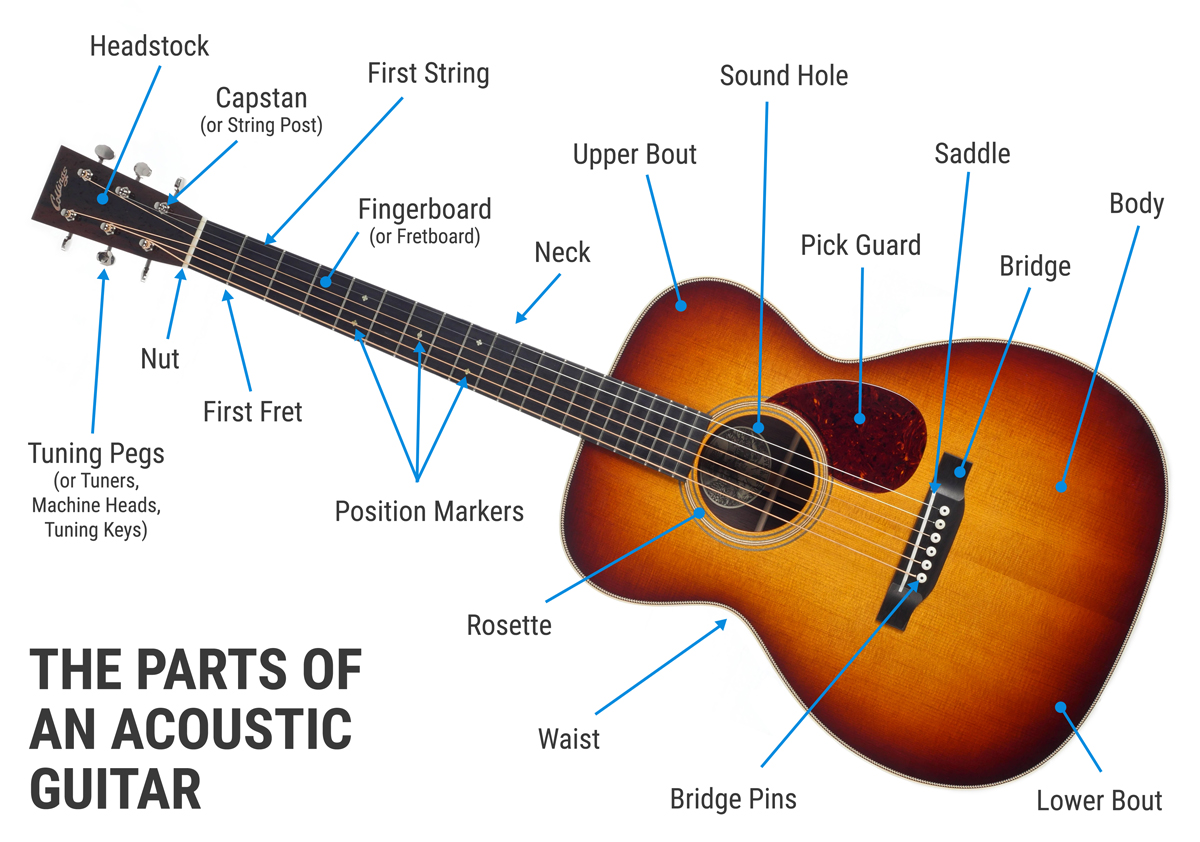
All these components combine to allow a guitar to make a sound. The chords mentioned earlier are formed by these factors. This teaches us that even daily objects that may seem inconsequential have some science going on behind them. Therefore, the next time you ever sit down to listen to music or hear someone playing a guitar, try to remember all the little things that allow it to work for our enjoyment.
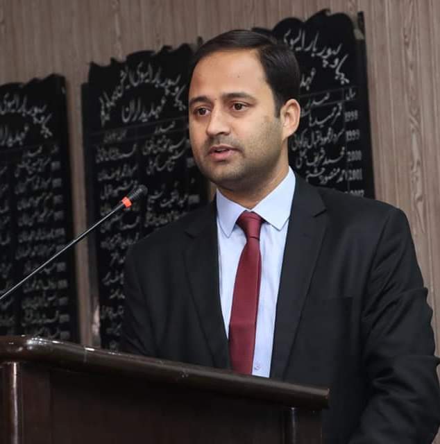
2. Navigating Crisis: Dr Mujtaba Hassan on Space Technology’s Role in Disaster Management
Dr Hassan: The answer is yes. Pakistan is currently experiencing significant climatic changes. These developments represent not merely variability but a fundamental shift in temperature, precipitation, and hydrological patterns.
Over the decades, the country has warmed faster than the global average, and the signs are undeniable. Summers are hotter, heatwaves arrive earlier and stay longer, and temperatures in places like Jacobabad now touch the very limits of human survival. At the same time, rainfall is becoming less predictable but far more destructive. The monsoon is no longer a gentle season; it can now unleash devastating cloudbursts in a matter of hours.
The warning signs have been building for over a decade. In 2010, unprecedented monsoon rains submerged nearly one-fifth of the country, displacing millions and leaving a humanitarian crisis in their wake. Twelve years later, in 2022, another catastrophic monsoon hit, this time bringing rainfall so intense that scientists confirmed climate change had made it far more likely. Those floods killed over 1,700 people and caused damage estimated at $40 billion, making them one of the costliest disasters in Pakistan’s history.
3. Against All Odds: HPV Vaccination Rollout Begins in Flood-Affected Regions Despite Societal Pushback
In Pakistan, an HPV vaccination campaign targeting girls aged 9–14 years is being held from September 15 to 27, 2025, across Punjab, Sindh, AJK, and Islamabad. This campaign is part of the government’s initiative, supported by organizations like the World Health Organization (WHO) and UNICEF, the Global Vaccine Alliance (GAVI), to introduce the HPV vaccine and prevent cervical cancer.
Although the vaccination of 2.5 million out-of-school girls after the floods and rains, especially in remote areas and marginalised communities, could be challenging for the health teams.
This nation-wide vaccination drive is part of larger global strategy for elimination of cervical cancer and Pakistan is also a signatory of the 71st World Health Assembly Resolution of 2018 that sets a goal of 90-70-90 by year 2030, which means 90pc of girls vaccinated against HPV by age 15, 70pc of women screened by age 35 and again by 45, and 90pc of women with cervical cancer disease receive treatment/palliative care.
4. “Seena Roshan Ho”: Lahore Science Mela Inspires a New Generation of Innovators!
LSM serves as a dynamic platform to popularize science and technology by making these fields accessible, enjoyable, and engaging for individuals of all ages. Visitors can participate in a variety of hands-on activities, interactive workshops, and captivating demonstrations that spark curiosity and foster a love for learning.
This year’s Lahore Science Mela will be held on October 25-26 at Crescent Model Boys High School, Shadman, Lahore. The tagline for this year is “SEENA ROSHAN HO,” which translates to “Your heart enlightens with the light of knowledge and curiosity”, inspired by the poetry of Allama Iqbal.
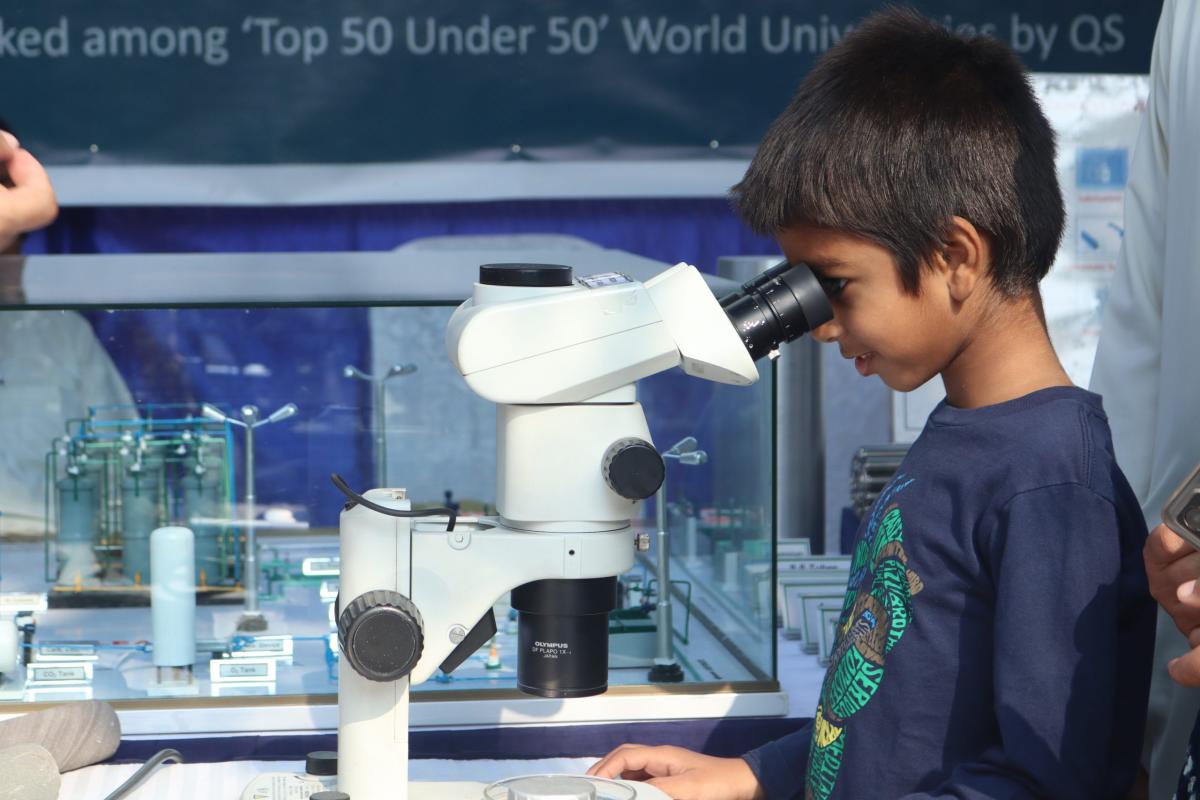
This tagline embodies the spirit of the event, encouraging attendees to explore and expand their understanding of the world around them. Expect to see an array of exciting projects and innovative exhibits from both local and international scientists and researchers. They will showcase their groundbreaking inventions and scientific experiments, providing a unique opportunity for the public to engage with and learn from experts in various scientific fields.
5. Cosmic Breakthrough: JWST Identifies Mysterious New Class of Black Hole Stars!
Astronomers may have finally found a clue to explain the strange “little red dots” that the James Webb Space Telescope spotted in 2022. The newly discovered object, nicknamed the Cliff, hints that these dots could be something entirely new in the universe — “a black hole star.” This happens when a black hole feeds so quickly that the gas around it lights up, making it look like a glowing star.
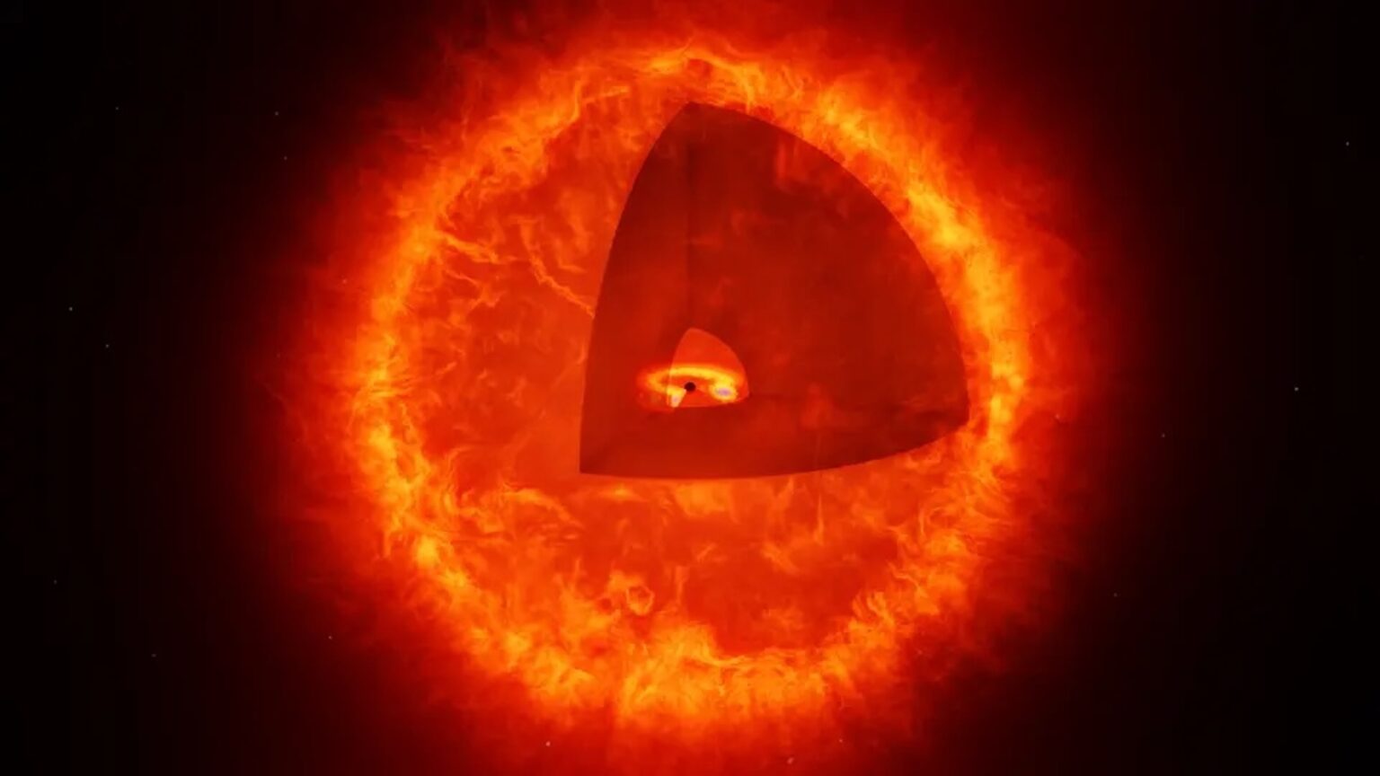
Before this, scientists thought the red dots might be huge early galaxies or supermassive black holes actively consuming matter.
Scientists are still debating what the mysterious “little red dots” really are. They might be exotic new objects, or perhaps just a stage in how galaxies and black holes grow. When the James Webb Space Telescope first spotted them in 2022, researchers even nicknamed them “universe breakers” because they looked too old to exist so early in cosmic history.
6. Crisis and Courage: Inside the Lives of Emergency Physicians in the War-torn Regions
“In my time working as a pediatrician in Gaza, I saw starving babies gasping for air and reaching for their mothers, who were buried under rubble. I treated an entire family who had sustained third-degree burns, eyes blistered shut, children’s genitalia scorched and disfigured from bombardment,” describes Dr Seema Jilani.
Dr Seema Jilani is a pediatric specialist with extensive experience working in Afghanistan, Israel, Gaza, the West Bank, Sudan, Lebanon, Egypt, and the Balkans. Her radio documentary, “Israel and Palestine: The Human Cost of the Occupation,” was nominated for a Peabody Award.

“The war in Gaza has taken its toll on us as mothers. I chose to leave my seven-year-old daughter behind to treat war-wounded children who resembled her, except that their limbs hung by a thread of flesh and their bodies were charred black beyond recognition,” Dr Jilani writes while describing her painful experiences in Gaza.
7. When Nature Strikes: The Devastating Human Cost of Pakistan’s Flood Crisis
We all saw the tragedy in DHA, where a father and daughter were swept away in the floods. They were seen waving and calling for help, yet no one could save them. One video that spread rapidly online showed a family standing on a rock in the middle of a river in Swat, reportedly to take photographs, when a sudden surge of floodwaters swept them away within seconds. It left millions of Pakistanis asking themselves the same haunting question: Are we ever truly safe, even in our own homes?

These “what ifs” echo in the minds of survivors and witnesses alike, planting seeds of fear and lasting mental distress. For rural families, the toll is even heavier. Elderly people and children, already the most vulnerable, face a lifetime of anxiety and grief. They lose not just their homes but also the very sense of security that anchors their lives. Many can only ask themselves in despair: Where do I go now? Everything is gone. My farm, my cattle, and my children are scattered. I no longer even have a home to return to.
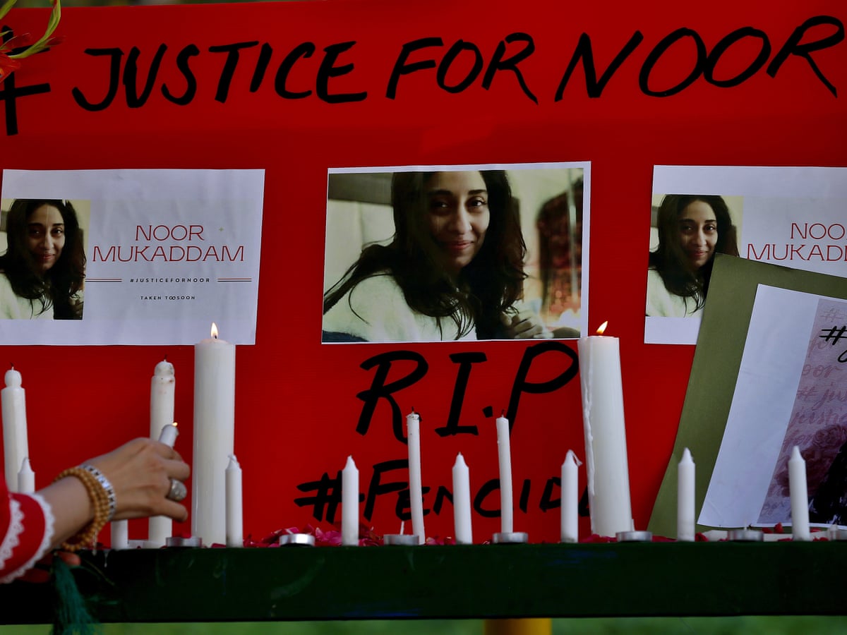
8. When Science Meets Silence: Decoding Post-Mortem Techniques in the Humaira Asghar Investigation
The decomposition of the body depends on the dependability of environmental conditions, such as temperature, humidity, and exposure, as well as the enclosure of the body inside a room. But this degree of breakdown usually needs some weeks or a few months. Autolysis is the self-digestion of cells with the help of their own enzymes of the body. The human brain is soft and rich in enzymes.
Thus, it turns into sludge very rapidly, liquefying in most cases during the initial stages of the decay. Various body parts decompose at varying rates. Protected structures such as the skull and spine, and hard tissues such as bones, take longer, and soft bodies like muscles and organs decompose sooner, both in warm weather as well as wet weather [3].
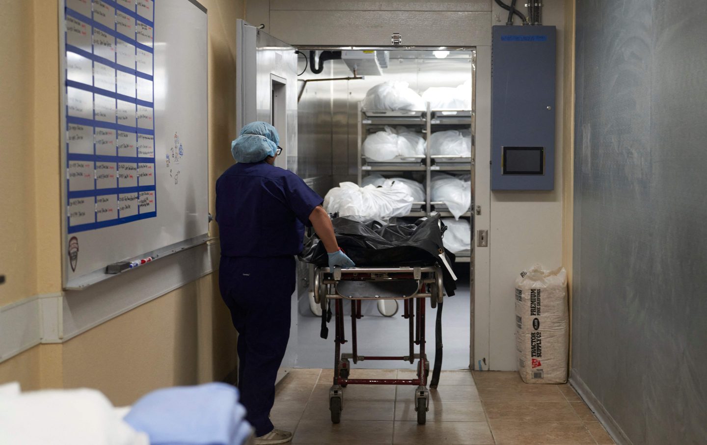
The missing maggots may indicate that the body had not been outside in the open for a long period, or the actions of the insects occurred earlier, and the larvae had already grown up and departed. It further indicates that the body was covered in a dry environment or a closed area [4].
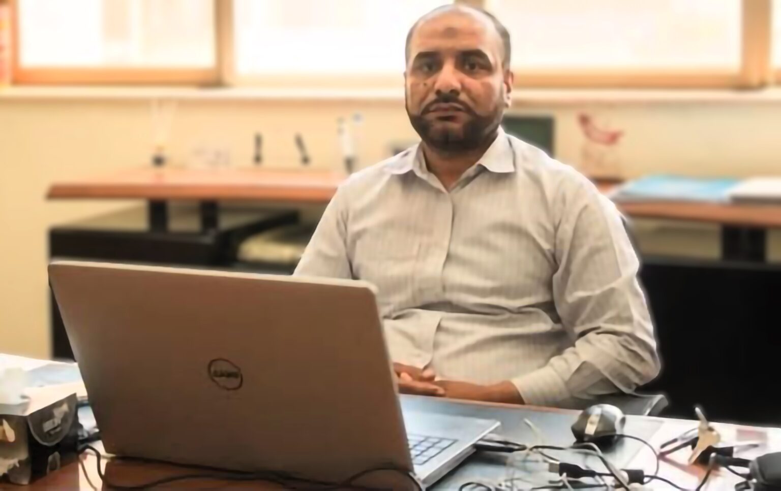
9. Cracking the Enigma of Crimes by Nanotechnology with Dr. Shahid Nazir Paracha
Dr. Shahid: Nanotechnology is the manipulation and application of material at the nanoscale level, typically between 1 and 100 nanometers. At this scale, materials exhibit unique physical, chemical, and biological properties. Nanotechnology is not a very advanced field, or has a current past.
With the help of nanomaterials, nanocomposites, or nanoparticles, materials are used to delve into the nanoscale, typically 1-100 nanometers. We adopted nanomaterials that can be utilized and are helpful in forensics.
For example, for fingerprint detection nanoparticle powders, normally we use simple dust or black powder, which are magnetic-based or chemical-based. Nanoparticles like gold, silver, and zinc oxide enhance the visibility of latent prints, and they are definitely environmentally friendly‑ they have very high sensitivity and specific results.
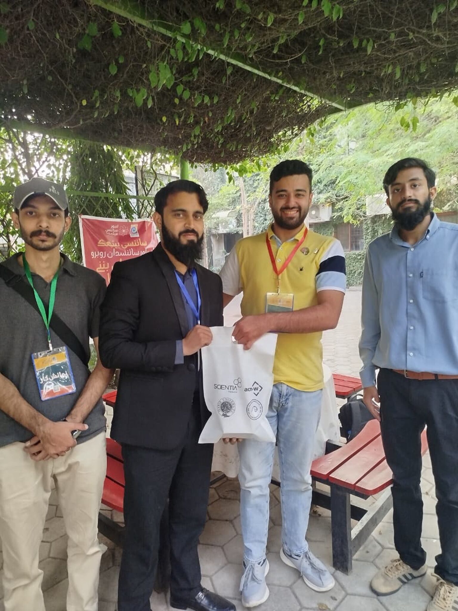
10. Karachi’s First Science Writing Workshop Set to Transform Public Understanding of Science
The two-day workshop was one of the first in-person events organised by Scientia in collaboration with the Natural Science Club (NSC), Habib University, Karachi, aimed to promote scientific writing and critical thinking among students, professionals, and researchers across the city. The workshop attracted a large number of students from Habib University and outsiders, demonstrating their enthusiasm for scientific research, science journalism, and communication.
The participants and speakers expressed immense appreciation to the entire Scientia team, sponsors from ACM-W, the NSC’s volunteers, and contributors both on and off-campus for making this event a success. This achievement was made possible by the energetic, dynamic, and professional speakers and facilitators. The audience comprised a diverse range of age groups, from teenagers to middle-aged adults.
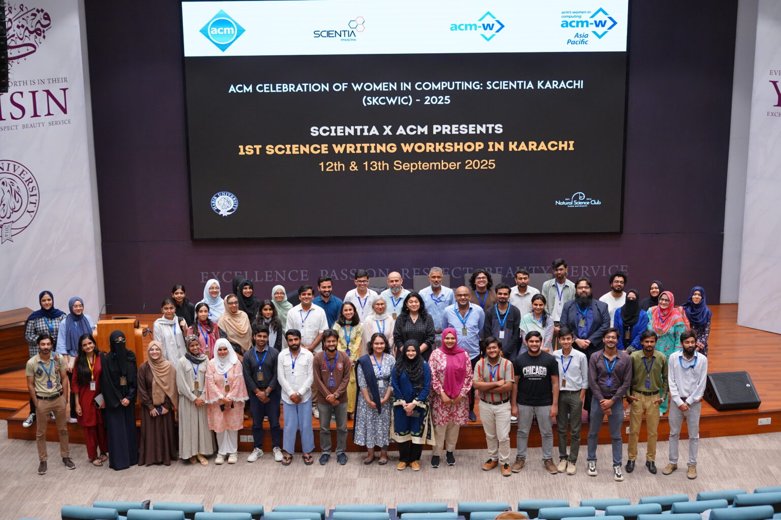
The two-day event featured several major highlights, including training sessions, keynote speeches, virtual lectures, and panel discussions. Renowned journalists and trainers conducted the training sessions, including Aleezah Fatima Hashmi, Sheema Siddiqui, Suhail Yusuf, and Ms. Rizwana Naseem.
These experts emphasised the importance of science stories in driving societal change and development. They taught participants the fundamentals of discovering stories in labs, fields, or communities, as well as “How to Pitch those Stories to Editors” and write them compellingly and engagingly for the general public.